
Petra World Heritage Site


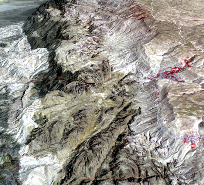

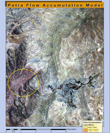


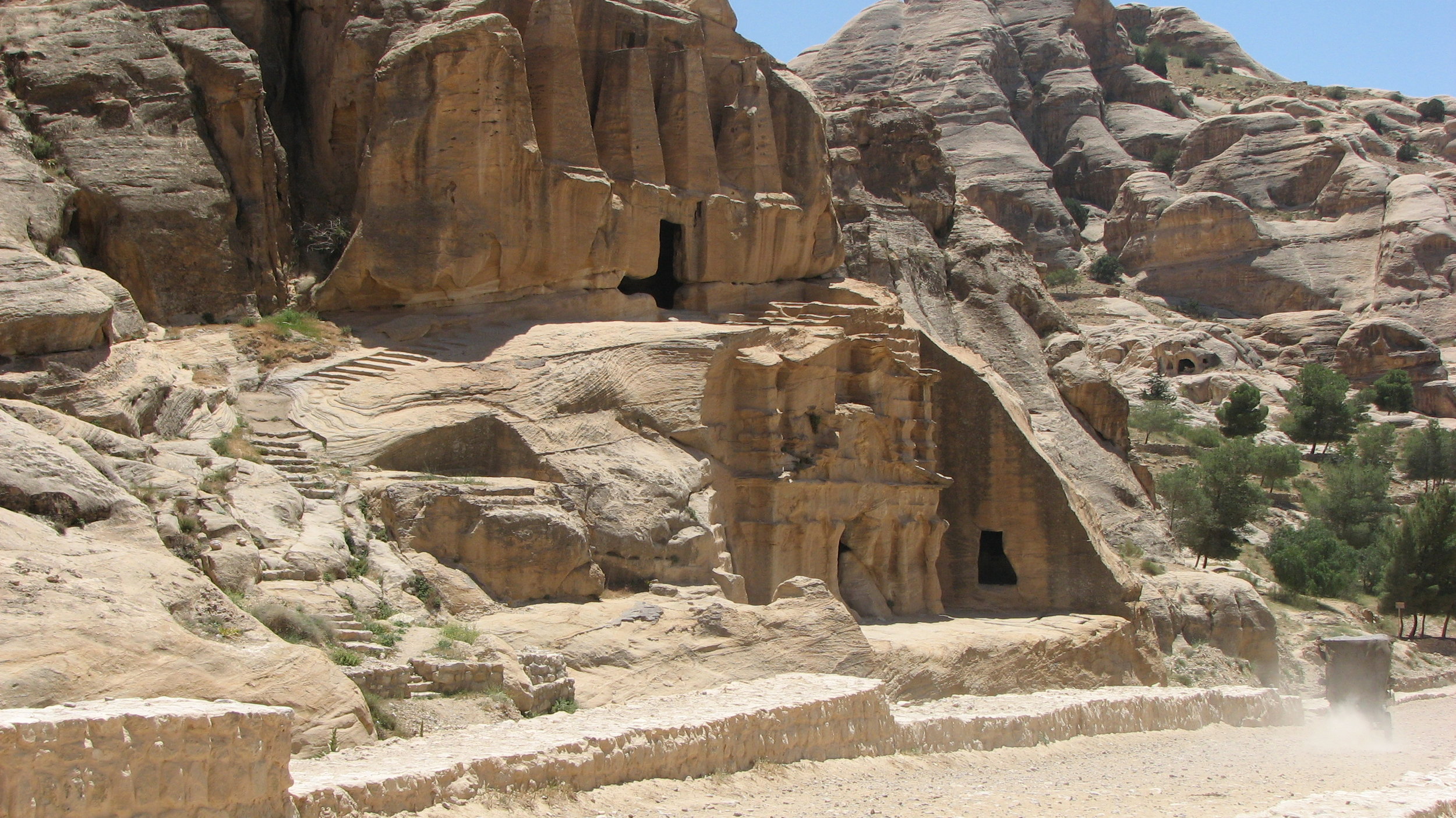
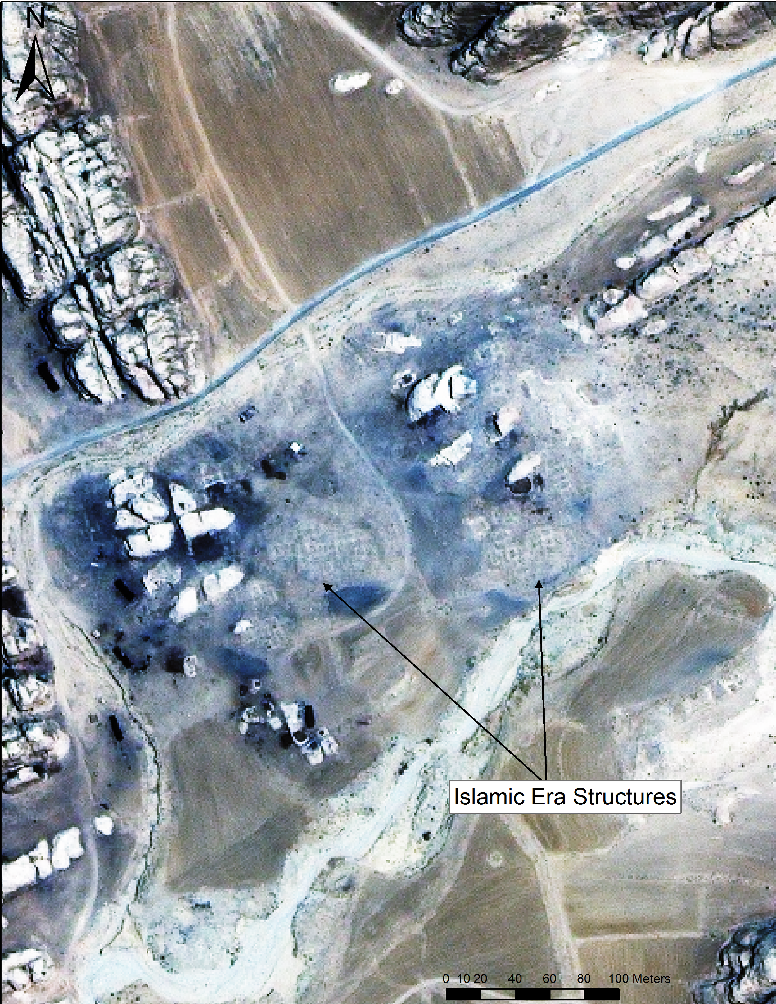
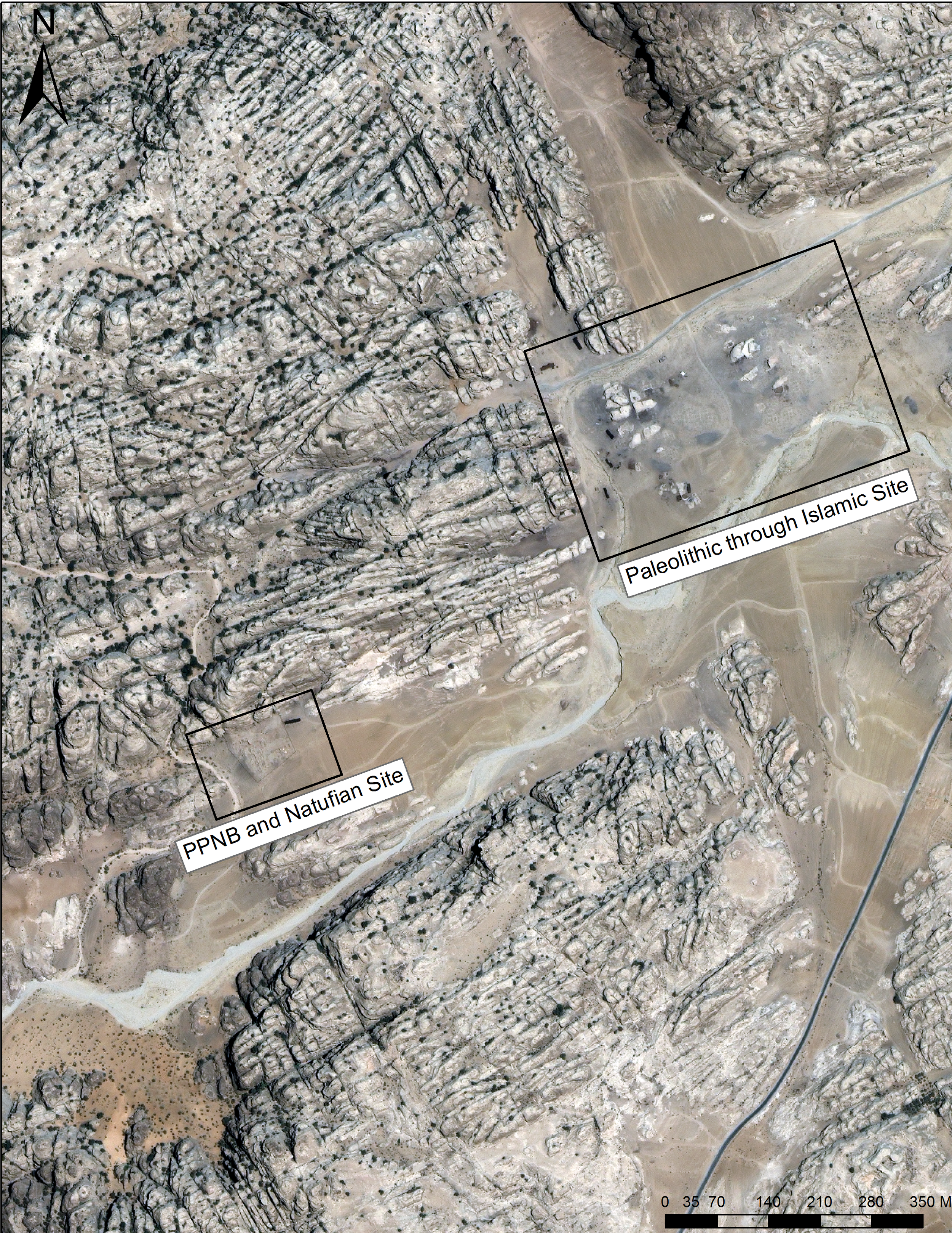
CSRM has been active at Petra for 20 years. Our involvement began with the development of two documents: a Carrying Capacity Study and Management Analysis that were co-authored by Douglas C. Comer, CSRM President, in 1996, an effort that was supported by USAID. These documents were the basis for the development of management zones that are still in use at Petra. Dr. Comer also carried out a research project through the American Center for Oriental Research (ACOR) in Amman, Jordan, where he was a fellow-in-residence for four months. This research utilized synthetic aperture radar (SAR) data collected from the NASA Space Shuttle Endeavor, as well as IKONOS multispectral imagery. The research centered on the region of Petra known as Beidha, which held one of the earliest settlements in the Fertile Crescent, from the Natufian Period, and a larger site Pre-Pottery-B Neolithic site established once agriculture and animal husbandry has been integrated. A model constructed using SAR and multispectral imagery suggested why these early villages were located there. Examination of the multi-spectral imagery also revealed a settlement near the early sites that dated to the Golden Age of Petra, when it was occupied by the Nabataeans. Excavations at this site by Patricia Bikai suggest that this was an alternate place of entry to Petra for caravans, a caravanserai.
Dr. Comer also led the team that developed the Petra Operating Plan. In addition, CSRM prepared the Petra Interpretive Plan, which provides the key stories (interpretive themes) that give visitors the essence of Petra, and the Petra Visitor Services Plan that presents the services, facilities, and amenities necessary for an enjoyable, safe, and educational visit to the Petra World Heritage Site. These were made possible with the support of USAID.
Dr. Comer now serves as Vice-Chair for Projects and Programs for the non-Profit, Petra National Foundation/US http://www.petranationalfoundation.org/
Click here for a Powerpoint about architectural and hydrological analysis at Petra
Click here for a Powerpoint about the use of GIS in planning, interpretation, and management at Petra.